
Skiing · Snowboarding · Ski touring · Cross-country · Running · Hiking · Surf · Cycling · Climbing
One app. All your activities.
Avalanche forecasts, mountain weather, routes and terrain for snow, trails, surf and rock. On one map that works the same wherever you go, instead of an app per activity and another per country.
Join the beta See what's in it
- Lantmäteriet
- Kartverket
- swisstopo
- IGN
- USGS
- Copernicus
- MET Norway
- Varsom
- lavinprognoser.se
- OpenStreetMap
- Camptocamp
The problem
One app per activity. Then one per country.
A slope map for touring. An avalanche app for each country you ride in. A weather app, a trail app, a surf forecast, a crag guide and something to record it all. Cross a border and start over.
Here it's one map. One planner, one log and one place for your routes, whatever the activity and wherever you are.
- Slope maps
- Avalanche forecast
- Mountain weather
- Trail maps
- Surf spots
- Crag guide
- Route planner
- GPS tracker
- Offline maps
- Summit log
- One map
Every activity
Pick a preset. The map follows.
One tap puts on the routes, layers and forecasts that go with what you do. Every other layer is there to add, and a mix you like saves as a preset of your own.
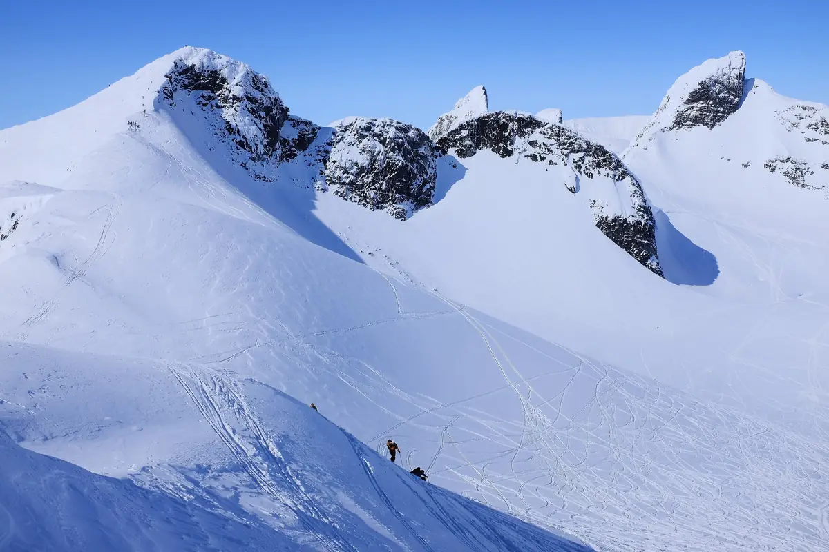
Skiing, snowboarding and ski touring
Slope angle, aspect, runouts and the avalanche bulletin painted on the slopes it's about. Pistes and lifts, and ski tours from Camptocamp and OpenStreetMap.
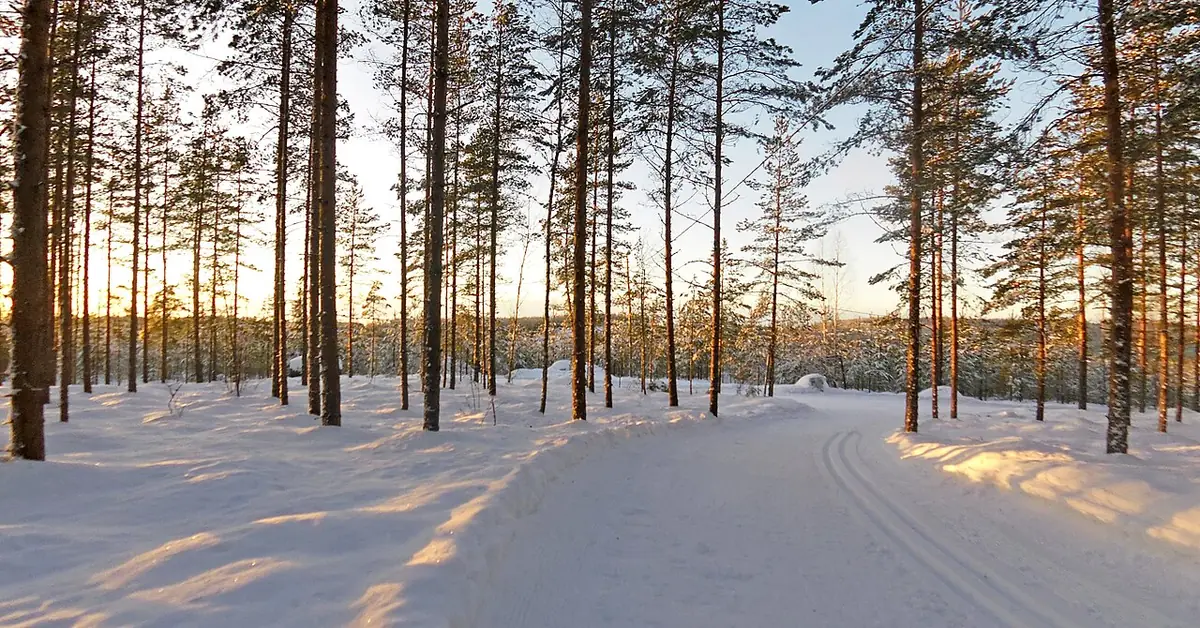
Cross-country skiing
Groomed tracks and winter trails on the map, and when a track was last groomed, where that's published.
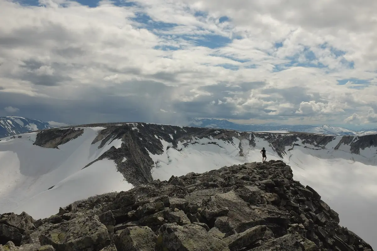
Running
Marked trails and the routes people run, a planner that learns your pace, and every summit you've run in one log.
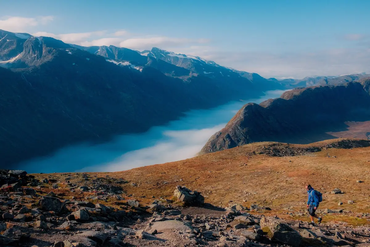
Hiking
Marked trails, huts, shelters, water and fords. Hut-to-hut days planned for you, with a way out on each.
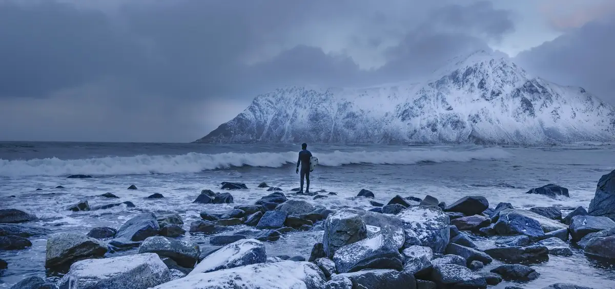
Surf
Known breaks the world over, what each one needs to work, and reports from people who were there.
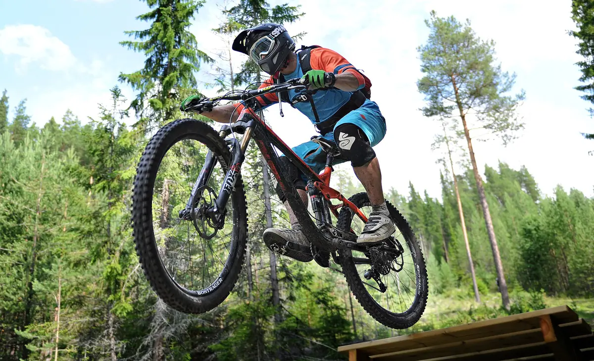
Cycling
Mountain bike trails graded S0 to S6, gravel and road too, and where you'll be pushing.
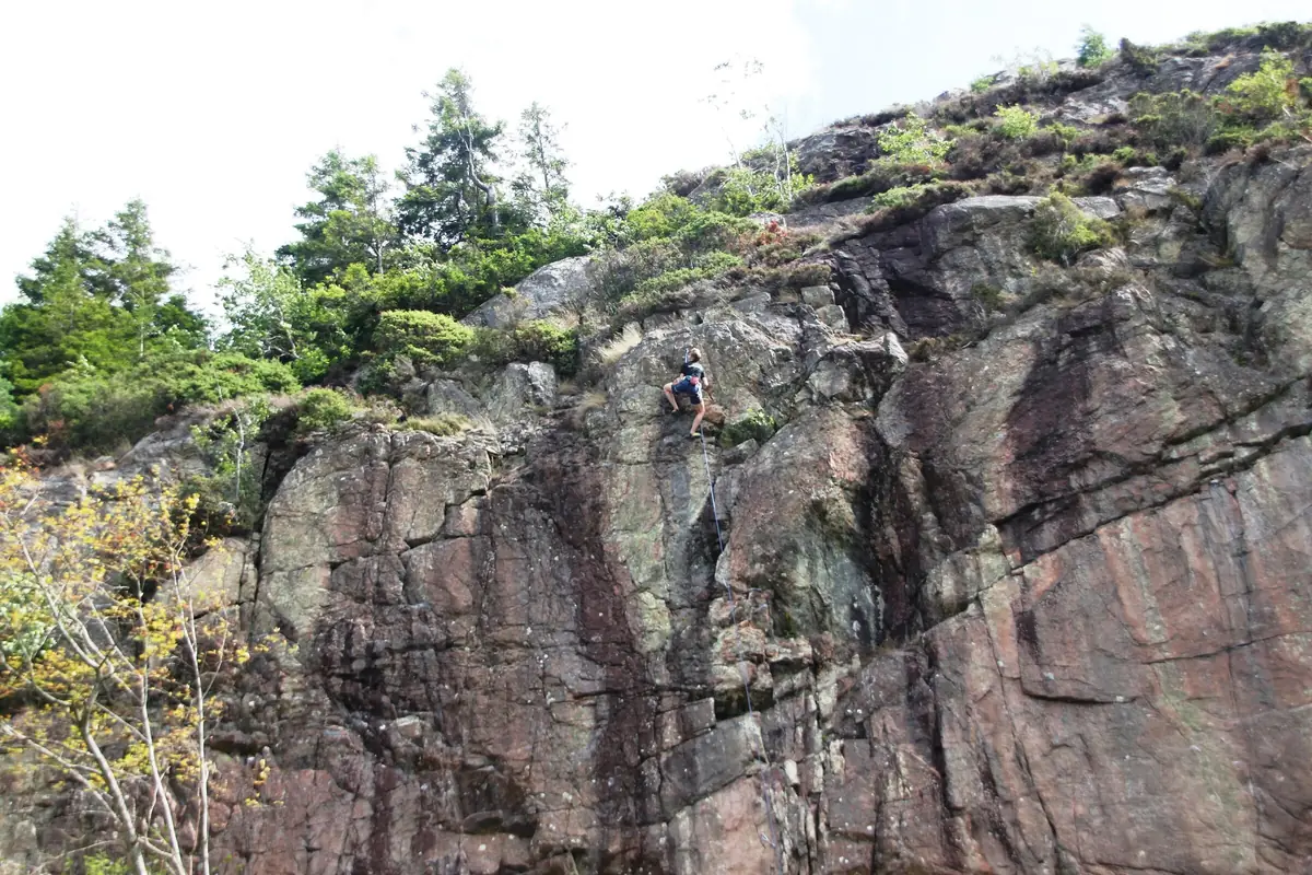
Climbing
Sport crags and trad lines apart, with grades, rock, faces and walk-in. Reports say if the rock is dry.
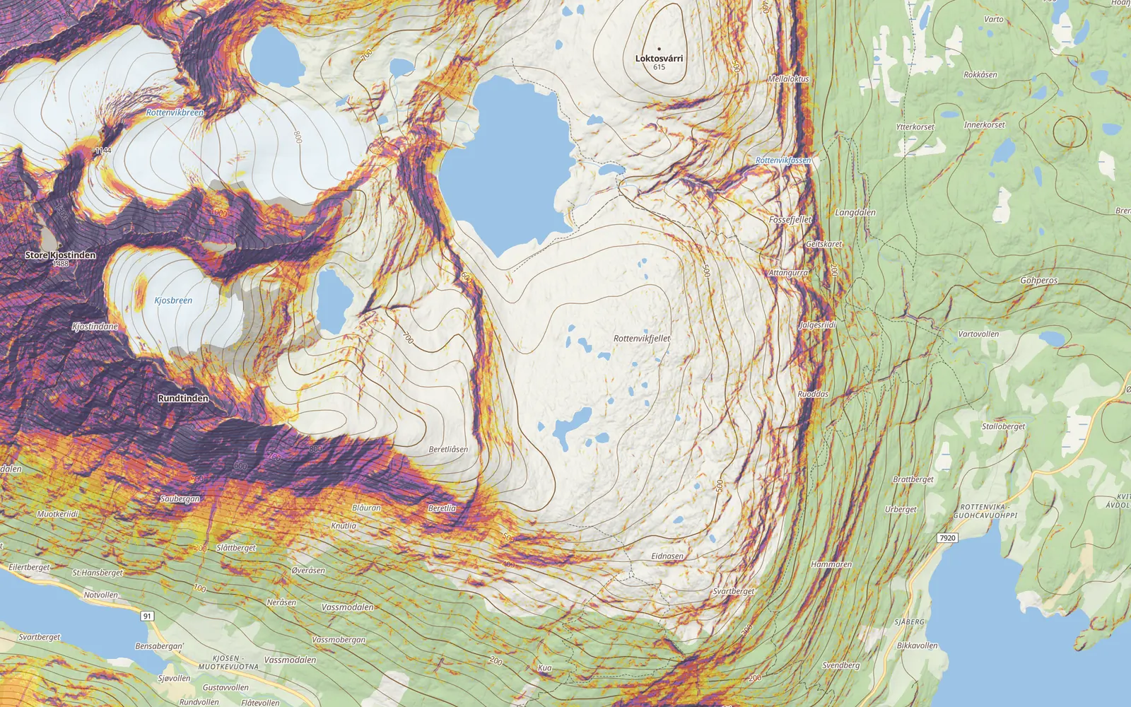
Avalanche terrain
See the steep before you're standing on it.
Every slope coloured by how steep it is, from the same elevation data as the 3D map, so the lines meet the ground at every zoom.
- Slope angle in the avalanche classes, 27° to 45° and up, and the way each slope faces.
- Runout: the ground a slide from above could reach, by the alpha-angle rule, around ridges and not through them.
- Today's bulletin from Varsom, lavinprognoser.se and the Alps' services. Tap a problem and the slopes it fits light up.
- Sun and shade at any date and hour, so you know which face gets the sun at two.
- The route check: every 20 m of your line, how much is steep, how much sits under steep ground, against the bulletin for the day you go.
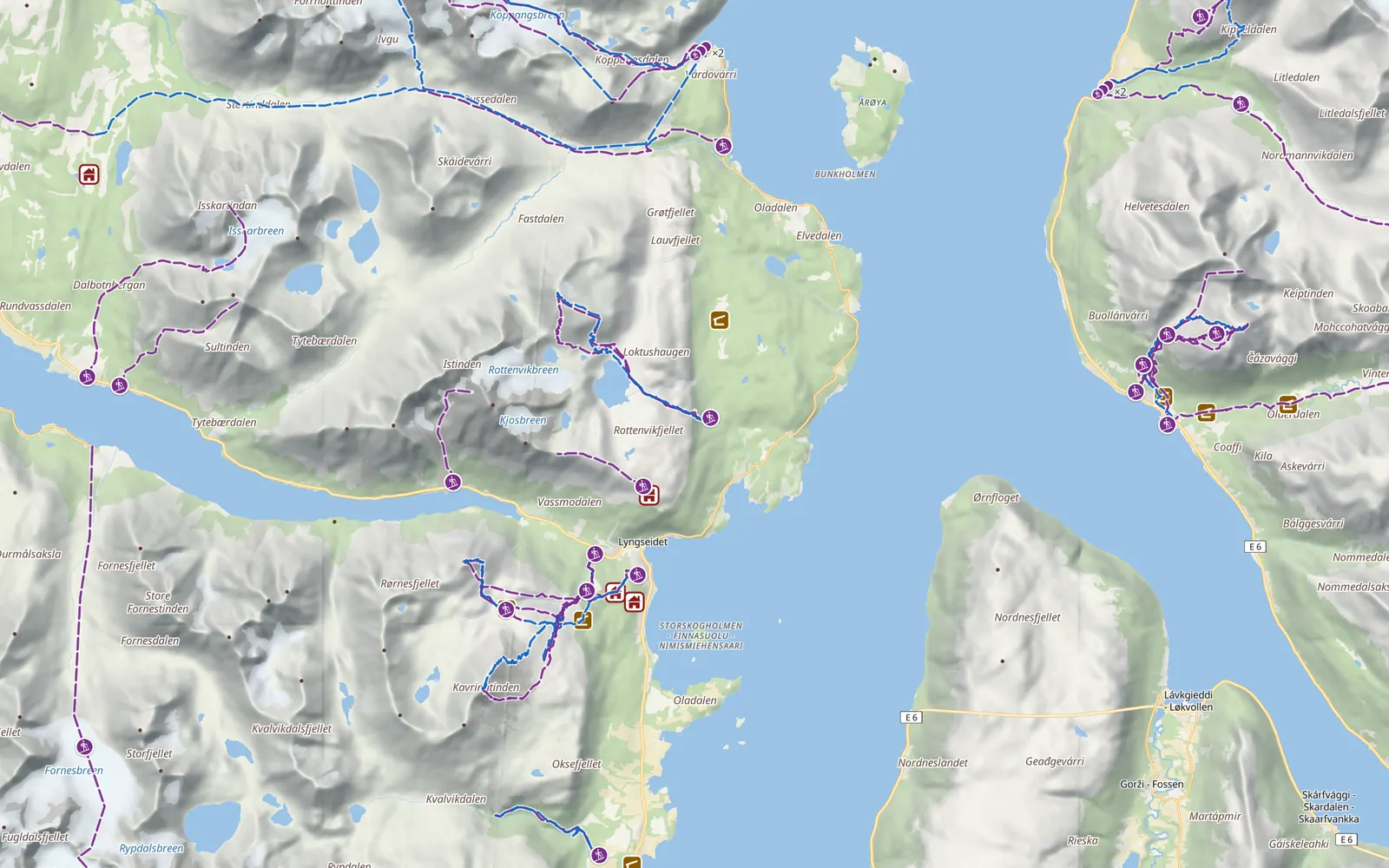
Route planner
Plan it yourself, or get suggestions.
Tap the map and the line follows the trails. Or say where you start, how far and how much climb, and get 10 to 50 routes to choose from.
- Distance, climb, an elevation profile from our own terrain and a time from your own pace.
- The weather along the way at the hour you pass each point.
- Loops, out-and-backs and hut-to-hut days: huts, a tent or either, water, fords and a way out on each day.
- Peaks to bag on the way, or as many as fit.
- Fly over the route in 3D before you go, then send it to your watch.
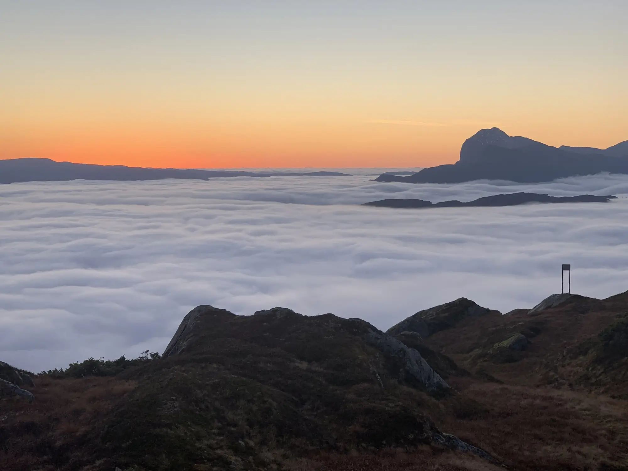
Mountain weather
Will you be above the clouds?
Cloud base and top against your height, the freezing level, the wind where you'll stand and an airgram of the next 48 hours. Snow that's coming, snow that's fallen, and this winter against the 20 before it.
Rain radar, satellite every ten minutes and the sharpest model for each place, on one time slider from two hours back to three days ahead.
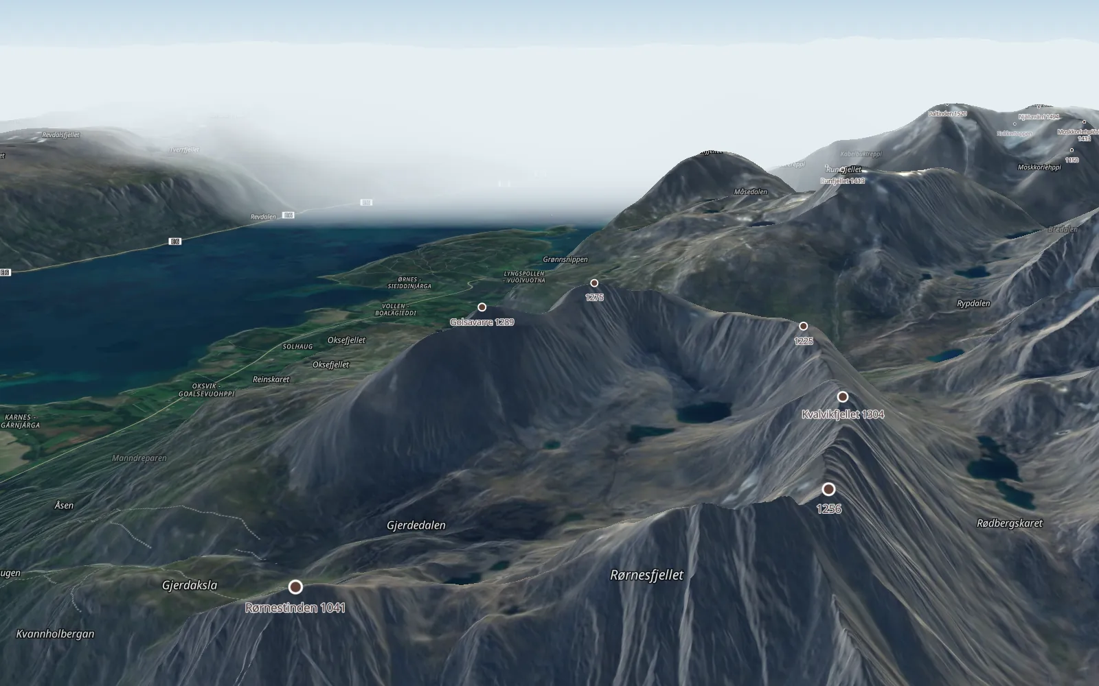
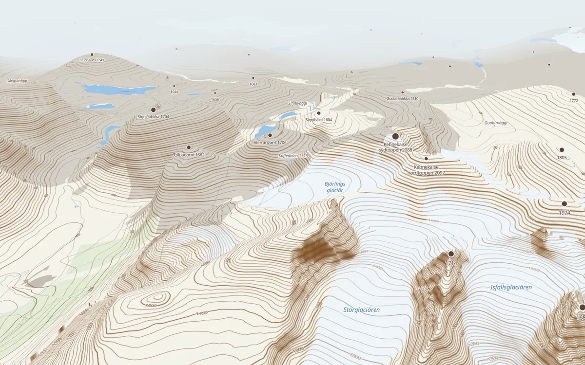
Terrain in 3D
Sharper than any paper map.
The ground from each country's own lidar, down to 1 m: Sweden, Norway, Switzerland, Austria, France, Spain, the US and Canada, and 30 m everywhere else.
- Tilt the map and walk the ridge before you go, on our own topo map or the satellite.
- Each country's aerial photos down to 8 cm, and a satellite view from late winter, when the snow is on.
- Contours, hillshade, cliffs and 100 m height bands, all from the same ground.
- Fly over your route, or point the camera at the mountains and get their names.
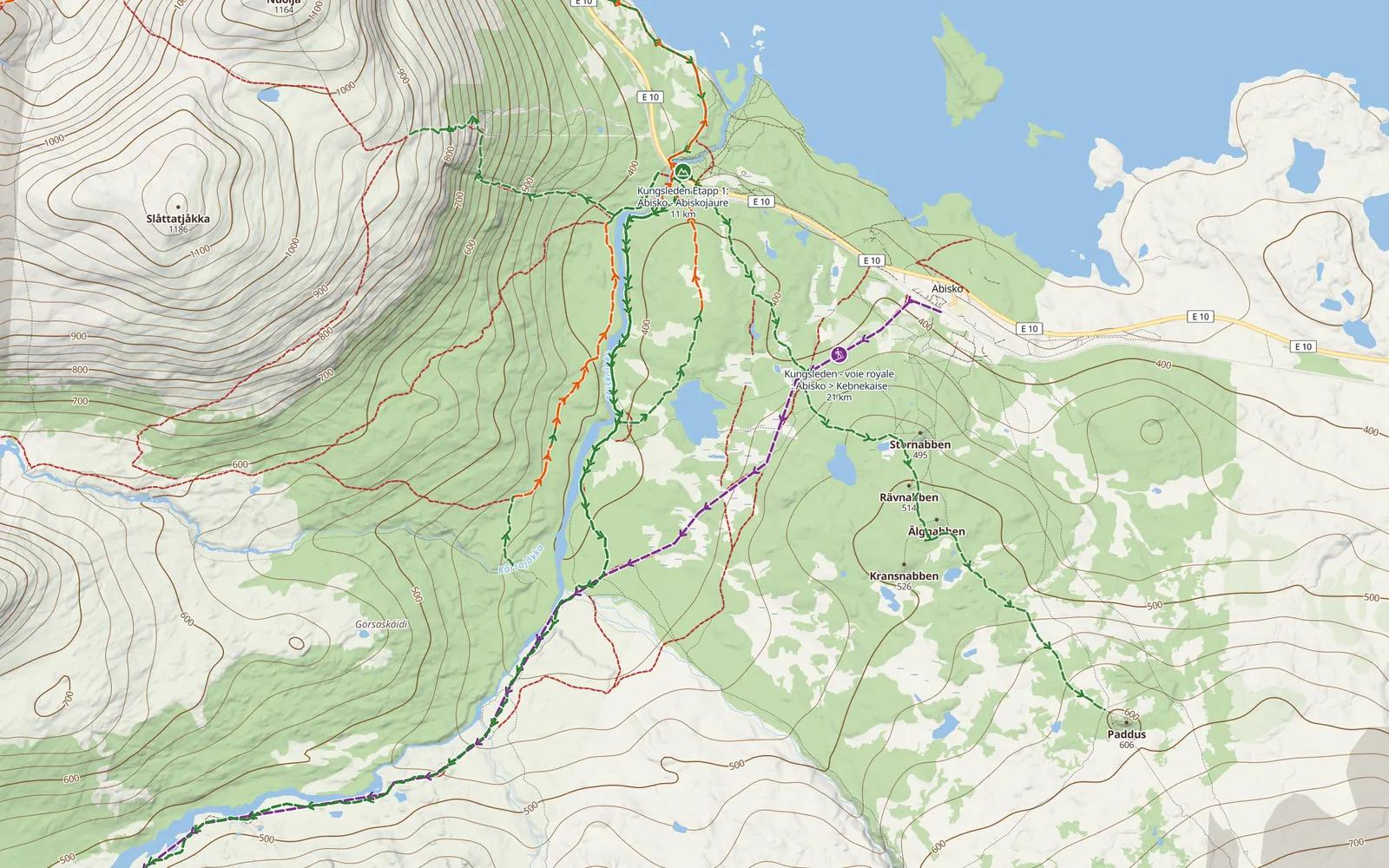
Routes, trails, huts and crags
Everything already mapped, on one map.
The ski tours, trails, crags and breaks people have mapped, with grades, climb and when someone was last there.
- Ski tours and hikes from Camptocamp and OpenStreetMap, split into the way up and the way down.
- Each country's own marked trails, winter routes and snowmobile tracks.
- Huts, shelters, fire sites, drinking water, fords, viewpoints and parking.
- Sport crags and trad lines, and 1,200 known surf breaks the world over.
- Pistes and lifts, cross-country tracks, and where people's GPS traces run.
Out there
Works with no signal.
Save an area before you leave: the map, the terrain, the trails and huts work without a bar of signal. Follow your route with a buzz when you stray, record where you went, and see the way to any point when the fog comes in.
Coordinates in every format, from UTM and MGRS to SWEREF 99, and 112 one tap away.
Why it exists
Built by someone with too many apps.
I've snowboarded for 30 years and splitboarded for 15. I run trails, surf, climb and ride. Every activity came with its own app, and every country with its own version of it, plus a weather app and an avalanche forecast on the side.
So I built the map I wanted: every activity on one map, with the best data each country publishes, wherever I go.
Anders Bälter, northern Sweden
Also in it
The rest of the kit.
All of it works today, in the beta.
-
One summit log
Every top you've been on, whatever the activity, ticked from your tracks. The Peaks layer shows what's left to bag.
-
To your watch
Routes out to Garmin, COROS, Suunto, Polar, Wahoo, Hammerhead, Apple Watch and Wear OS. Activities in from Strava, FIT files or a whole export.
-
Condition reports
Powder, crust, whumpfs, offshore wind, a high ford, wet cracks. With photos, from people out there in the last 14 days.
-
Share and publish
A link that opens without a login, or a route made public for everyone here, with your home kept out of it.
-
Maps to choose from
Our own topo map, satellite with each country's aerial photos down to 8 cm, a late-winter satellite view, and half a million Norwegian place names.
-
Name the peaks
Point the camera at the mountains and the app names the tops in sight.
-
Compass and coordinates
The map turns with you, every card points the way from where you stand, and coordinates come in every format, UTM, MGRS and SWEREF 99 too.
-
Print a map
The map you made, on paper, for the pocket that never runs out of battery.
-
Leads, an experiment
Slopes, surf breaks and runs worked out from the terrain and the sea floor, not from anyone's list. Early days: go and look before you trust one.
Questions
Before you join.
What does it cost?
Nothing, for now. No card needed to join.
Is there an app?
It runs in the browser and installs to your phone's home screen: on Android from the browser's menu, on an iPhone with Share, Add to Home Screen.
Does it work without signal?
Save an area before you go and the map, the terrain, trails, huts and your routes work offline. Weather and the planner's snapping need signal.
Where does it work?
The map, trails and weather work anywhere. Terrain is sharpest where a country publishes lidar: Sweden, Norway, Switzerland, Austria, France, Spain, the US and Canada. Avalanche forecasts come from each country's own service, where it has one.
Is it avalanche advice?
No. Slope angle, runouts and the route check are worked out by software from public data. Read the bulletin, read the terrain and make your own call.
What happens to my data?
Your places, routes and log are yours. GPX out any time, your whole account as a zip, and gone for good when you ask. No ads.
Which languages?
English, Swedish, Norwegian, Danish, Finnish, German, French, Spanish, Italian and Portuguese.
The beta
The beta has places.
Free for now. No card, no ads. Use it on your next trip, and tell us what's missing.